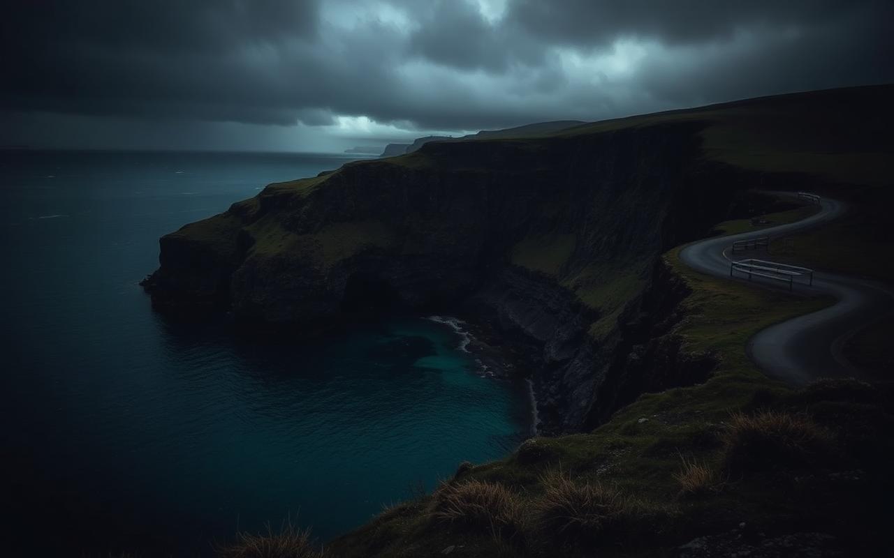
Pembrokeshire packs 186 miles of coast path, a cathedral city the size of a village and some of the best beaches in Europe into one county. The driving is a chain of cliff-top lanes linking harbours — short distances, slow going, endless stopping.
MG MGF
Britain's only coastal national park, roof down, salt in the air. Made for a roadster.
Check availabilityThe route, stage by stage
- 01
Tenby & Caldey
Walled Georgian town, pastel harbour houses and a boat out to the monastery on Caldey Island.
- 02
Stackpole & Barafundle
Bosherston lily ponds, then the walk to Barafundle Bay. Check the Castlemartin firing-range red flags before driving the coast road.
- 03
Pembroke to Marloes
Pembroke Castle, birthplace of Henry VII, then west to the Marloes peninsula and the Skomer boat.
- 04
St Davids & Whitesands
The smallest city in Britain, its cathedral hidden in a hollow, and the surf beach at Whitesands.
- 05
Strumble Head to Newport
Cliff lanes to the lighthouse at Strumble Head, then the Preseli foothills and Newport Sands.
Stops worth making
- Tenby harbour
- Barafundle Bay
- Pembroke Castle
- St Davids Cathedral
- Strumble Head lighthouse
Driving notes for visitors
- Coastal lanes are single-track with blind bends — sound the horn on tight corners.
- The Castlemartin range closes the Stack Rocks road during live firing.
- Ferry traffic from Pembroke Dock and Fishguard surges at sailing times.
Remember: drive on the left, the national speed limit on single carriageways is 60mph, and roundabouts give priority to traffic from your right.